Coyote
Creek - 9/28/02 - Omar Nelson
The Fall schedule got off to a beautiful start with a lovely
day on Coyote Creek and on into Fern Ridge Reservoir to Gibson Island.
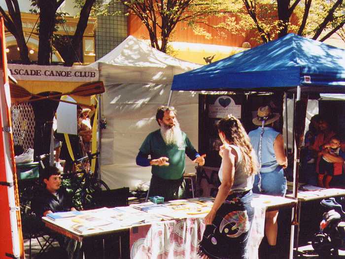
Four people we met at our booth at the Eugene Celebration joined me
to enjoy one of my favorite paddles. Rachel, Stephanie, Sue and
Bill shared the day. Sue brought her recreational kayak, Bill had his
beautifully made stitch and glue Pygmy kayak and Stephanie and Rachel paddled
with me in my tandem canoe.
The day started a bit cool but as the sun came out it turned
into a warm, calm day just perfect for a casual paddle tour.
We put in at the Cantrell Road canoe launch and went upstream past the
old pump till the way was blocked by fallen trees. The water level
was down about two feet from full pool due to seasonal draining for flood
control which limited our access upstream. Going down stream we wound
our way past trees in the water stopping occasionally to pick some luscious,
late blackberries.
We shared the creek with Great Blue Herons, Belted Kingfishers,
Mallard Ducks, Blue wing Teal and many other birds. Going out
onto the reservoir we saw Osprey, Coots, Marsh Wren and Great White
Egrets.
Because the wind was calm the water on the reservoir was very
smooth and made for easy paddling to Gibson Island where we rested
for a bit before going back to a lazy picnic lunch and then back to the
put in.
Trip to Murtle Lake, ah make that Clearwater
Lake - Summer 2002 - Robert Horner
This last Summer my friend Jerry and I drove 925 miles to
Wells Gray Provincial Park with hopes of exploring Murtle Lake.
Its a good thing we stopped in at the visitors center in Clearwater because
the folks their informed us that the road to the parking lot for Murtle
was washed out in several places and closed. So our other nearest lake
was Clearwater Lake, 25 miles up the Clearwater Valley Road. Our wilderness
experience was probably not what we would of had at Murtle Lake but we had
a good time at the various campsites along Clearwater meeting other paddlers
with similar intentions of paddling Murtle and trying to catch the alusive
Kamloops Trout. This provincial park is sometimes referred to as the
'waterfall park'. It really has some great paddling/camping opportunities
with Murtle Lake or Clearwater-Azure Lakes, hiking trails, fishing and spacious
campsites. Its a well-managed park with big rivers and falls and lots
of history. For any info on the park, just e-mail me - Robert
|
Clear
Lake - 10/5/02 - Omar Nelson
A cool, cloudy, dreary day had Dick Cross, his friend Helen,
Robert, Cheryl and myself wondering what we were getting ourselves
into going up into the mountains in search of the headwaters of the
mighty McKenzie River. What we found was a cool, cloudy and anything
but dreary day. The vine maples around the lake were ablaze with
yellow, orange and scarlet leaves which showed brilliantly against the
lava outcroppings.
We put in at Coldwater Cove Campground using the fancy boat
slide which is coated with sheets of very slippery plastic material.
The material is so slippery that it was hard to keep the boats from
slipping down into the water.
We were paddling along marveling at the clear, blue water when
Robert noticed something in the top of a tall tree. Could it be
a bald eagle? No, it was a pair of crows. We made up for
not seeing the eagle by seeing lots of Ouzels now called American Dippers.
Dippers are small dark grey birds that bob along the water's edge and
then dive into the water flying along under water in search of the insect
larva they find to eat there. Helen, Dick and I hiked about 100 feet to
the Great Spring, the source of the McKenzie River. It's a deep
pool of crystal clear water coming up out of the ground forming a stream
that comes into the lake opposite from the lodge.
While I enjoyed peering into the depths of the lake and seeing
the still standing trunks of trees that were drowned by the creation
of the lake I also lamented seeing much more algae and aquatic vegetation
than I saw the last time I was here a few years ago. How much of
the change is due to natural eutrophication and how much is due to human
impact I don't know but the lake is changing rapidly.
We all shared a lovely picnic lunch back at the put in and
then Dick, Helen and I capped the day by going up the old McKenzie
pass highway to hike the Proxie Falls Trail. This mile and a quarter
loop trail leads to both Upper and Lower Proxie Falls. The late afternoon
sun made the falls seem to glow and the vine maples along the trail were
exploding with color. It was a wonderful way to end a delightful
trip.
|

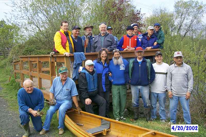
 Hats off to the 2002 Delta Ponds Cleanup team!